59. Parish names

Aside from county, land district and local government boundaries, Victoria is also divided up into over 2000 parishes. To confuse matters somewhat, some parishes cross county boundaries and they may also be duplicated in town names. For example, Moora is a small settlement, but also a parish that includes much of the township of Rushworth. The eastern part of the Rushworth township is in the parish of Waranga, which was also the name for a former local government area. Colbinabbin is both a town and a parish name.
The boundaries of parishes were established by early surveyors and form part of the description of each piece of land in Victoria. Often, the names assigned to parishes were suggested by the surveyors. There are many parish names on and around Ngurai-illum Wurrung country that are of Aboriginal origin and may represent words from Ngurai-illum Wurrung language. However, with limited knowledge of the history of local areas they worked in, there would have been occasions when the surveyors used a name that was derived from another source or was inappropriate in some way.
LOST MEANINGS
There are plenty of these parish names whose original meaning has apparently been lost. For instance, does anyone know what Burnewang, Cornella, Dargile, Gobarup, Moora, Moormbool or Wanalta mean, if indeed they are Aboriginal names? Plenty of people have compiled lists of Aboriginal place names but these local names rarely, if ever, appear on any of them. The same applies to the names of some geographical features in the landscape e.g. Wallenjoe Swamp and Yallagalorrah Creek, the latter of which runs into Cornella Creek south of Colbinabbin.
On the other hand, there are parish names where a range of different meanings have been suggested. Noorilim, a parish south of Murchison, could mean either camp, knee or track, depending on which reference you look at, while Tabilk could mean country, frost or place of many waterholes. Goornong could be excrement, kangaroo, apple or an unpleasant smelling plant.
EUROPEAN SURVEYORS
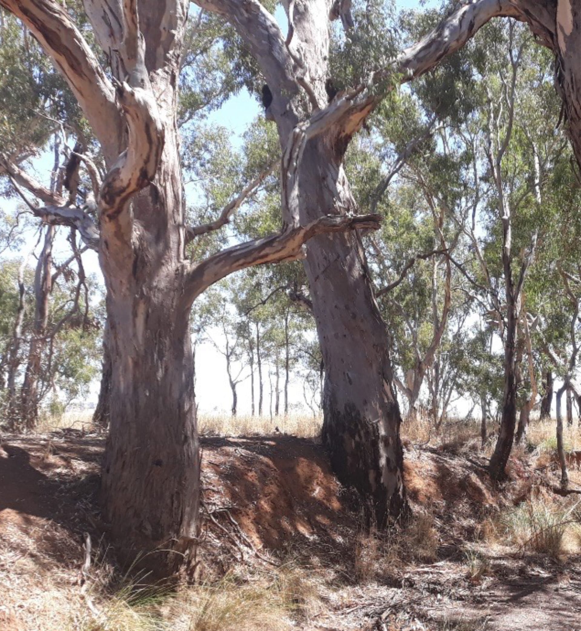
Soon after the squatters moved their flocks onto Ngurai-illum Wurrung land from the late 1830s, the colonial administration in Sydney began to send surveyors onto the country. This process was intensified after the establishment of the colony of Victoria in 1851.
These men would travel on horseback, spending weeks in the field doing their work. They would often camp out as there were very few other Europeans in the area at the time – just a few squatters, their shepherds and hut keepers. There was potential for the surveyors to pick up some words that these men had heard and put them on the maps they were drawing. Perhaps there was also direct contact with the Ngurai-illum Wurrung people who were still moving around country, following their songlines.
EARLY MAPS
There are a large number of surveyors’ maps from this era available on government websites such as PROV and SLV (Public Records Office of Victoria and State Library of Victoria). They contain an amazing amount of detail. In places, some surveyors have written what appear to be Aboriginal words in pencil, almost as though they were trying to figure out how they might spell a word they have just heard spoken.
Surveyor Philip Chauncy (who later surveyed parts of Rushworth township and the Whroo Road) surveyed Cornella Creek in 1848. In pencil, he has written in the name ‘Yellamy-galeure’ creek where it runs into Cornella Creek. The squatter Edward Curr, whose station was nearby, believed the Ngurai-illum word ‘yellami’ meant creek, while ‘yellam’ meant camp and bark. Today this creek is known as Yallagalorrah.
Chauncy also wrote (in pencil) ‘Colbinabbin Creek’, near where Cornella Creek ran past squatter Edward Curr’s head station. It seems Curr called the creek Colbinabbin Creek rather than Cornella Creek preferred by Chauncy.
References: Many references were used during the compilation of these stories on place names. For a list of names, their possible meanings and the references used, refer to Appendix A. For old maps, go to the PROV website, search ‘Map Warper’ then enter a search for the name of the area you want to look at. Or on the SLV site, enter ‘Parish Map’ and the name of the parish you are interested in.